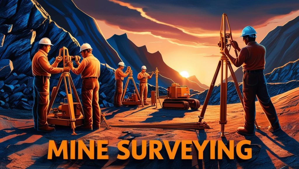
Mine Surveying Homework Help
Introduction
The Mine Surveying Homework Help is an essential topic for students and professionals in mining engineering and geology. Mine surveying plays a crucial role in ensuring the efficiency, accuracy, and safety of mining operations. It involves measuring and mapping underground and surface mines to provide data for planning, design, and resource extraction. This guide explores key concepts, methods, tools, challenges, and future trends in mine surveying.

Importance of Mine Surveying
Mine surveying is indispensable in the mining industry as it helps in:
- Mine Planning and Design – Ensuring accurate layout of underground and open-pit mines.
- Resource Estimation – Determining the quantity and quality of mineral deposits.
- Safety Assurance – Preventing structural failures and hazardous conditions.
- Environmental Management – Monitoring the environmental impact of mining activities.
- Regulatory Compliance – Ensuring adherence to legal and safety regulations.
Fundamental Principles of Mine Surveying
Mine surveying follows principles that guide its accuracy and reliability. These include:
- Triangulation – Establishing control points using a network of triangles.
- Leveling – Determining height differences to maintain elevation accuracy.
- Traversing – Measuring distances and angles to create maps and layouts.
- Coordinate Systems – Using geodetic and local coordinates for precise positioning.
Methods of Mine Surveying
Several techniques are used in mine surveying, depending on the mining environment and project requirements.
1. Surface Mine Surveying
Surface mine surveying involves mapping open-pit mines and quarries using:
- Total Stations – Measuring angles and distances accurately.
- GPS and GNSS Surveying – Utilizing satellite-based systems for precise positioning.
- Photogrammetry – Capturing aerial images with drones for 3D mapping.
- LIDAR Technology – Using laser scanning for high-resolution topographical mapping.
2. Underground Mine Surveying
Underground mine surveying presents unique challenges and requires specialized techniques:
- Gyroscopic Theodolites – Maintaining direction control in tunnels.
- Laser Scanning – Mapping underground spaces with high precision.
- Tachometry – Measuring distances quickly in confined areas.
- Mine Shaft Surveying – Ensuring proper alignment and depth accuracy.
Equipment Used in Mine Surveying
Mine surveying relies on advanced tools and instruments to enhance precision and efficiency.
1. Traditional Surveying Instruments
- Theodolites – Measuring horizontal and vertical angles.
- Levels – Determining elevation changes.
- Chains and Tapes – Measuring short distances manually.
2. Modern Surveying Technology
- Electronic Distance Measurement (EDM) Devices – Providing accurate distance calculations.
- Drones and UAVs – Capturing high-resolution images for mapping.
- Laser Scanners – Creating detailed 3D models of mine sites.
- Robotic Total Stations – Automating measurement processes for greater accuracy.
Challenges in Mine Surveying
Despite technological advancements, mine surveying faces several challenges:
- Harsh Working Conditions – Underground mines have poor visibility and confined spaces.
- Geological Uncertainty – Variability in rock formations affects accuracy.
- Equipment Calibration and Maintenance – Ensuring instruments remain precise.
- Data Management – Handling large datasets efficiently for analysis.
- Regulatory Compliance – Adhering to mining laws and safety standards.
Best Practices in Mine Surveying
To improve mine surveying accuracy and efficiency, the following best practices should be followed:
- Regular Calibration of Equipment – Ensuring instruments are functioning correctly.
- Accurate Data Recording – Maintaining organized records for future reference.
- Use of Redundant Measurements – Verifying accuracy by cross-checking data.
- Adoption of Automated Technologies – Reducing human error with AI and machine learning.
- Continuous Training and Development – Keeping surveyors updated on new methodologies.
Future Trends in Mine Surveying
Mine surveying is evolving with advancements in technology. Some future trends include:
1. Artificial Intelligence (AI) and Machine Learning
- Predictive Analysis – Enhancing mine planning through AI-driven insights.
- Automated Data Processing – Reducing manual effort in data interpretation.
2. Internet of Things (IoT) in Surveying
- Smart Sensors – Real-time monitoring of mine stability.
- Connected Surveying Equipment – Enabling remote operations and data sharing.
3. Augmented Reality (AR) and Virtual Reality (VR)
- Immersive Training Programs – Enhancing the learning experience for surveyors.
- Virtual Mine Models – Visualizing mining operations for better decision-making.
4. Blockchain for Survey Data Security
- Tamper-Proof Records – Ensuring integrity in survey documentation.
- Decentralized Data Storage – Enhancing accessibility and transparency.
Conclusion
The Mine Surveying Homework Help is an essential subject for students, engineers, and geologists involved in mining. Accurate mine surveying ensures efficient operations, resource optimization, and worker safety. With technological advancements, modern surveying methods are improving the accuracy and efficiency of mining projects. By adopting best practices and emerging technologies, the mining industry can achieve greater precision and sustainability.
For more insights into mine surveying technologies, visit International Society for Mine Surveying or National Institute for Occupational Safety and Health (NIOSH).Mine Surveying Homework Help
gies, visit International Society for Mine Surveying or National Institute for Occupational Safety and Health (NIOSH).


